The Border That Nobody Could Find
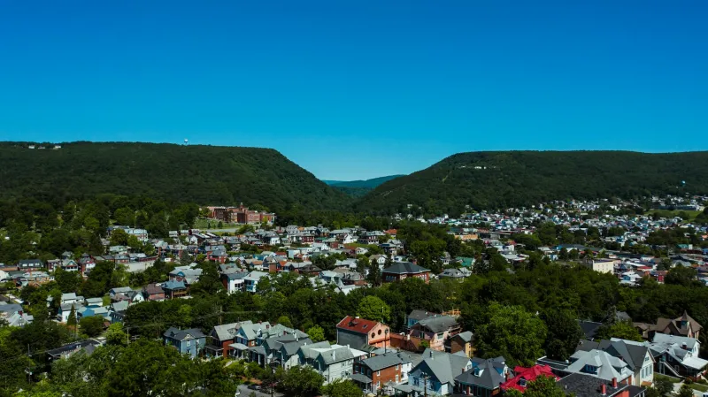
Imagine waking up one morning to discover that your house technically sits in two different countries — and has for your entire life. That's exactly what happened to residents of North Troy, Vermont, a small community that spent three-quarters of a century accidentally straddling the U.S.-Canadian border thanks to one of the most spectacular surveying failures in North American history.
The whole mess started in the 1840s when government surveyors were tasked with marking the official boundary between Vermont and Quebec. Armed with primitive instruments and working through dense forests, these well-intentioned mapmakers managed to create what would become a 75-year-long international incident — they just drew the line in the wrong place.
Life in Two Countries at Once
For decades, the people of North Troy went about their daily lives completely unaware that they were living in a bureaucratic twilight zone. Children walked to school crossing international borders. Families paid property taxes to Vermont while their backyard gardens technically grew Canadian vegetables. The local post office delivered mail to addresses that existed in two countries simultaneously.
The really bizarre part? Nobody seemed to notice. Residents conducted business, voted in elections, and raised families without any indication that half their community existed in a different nation. There were no customs checkpoints on Main Street, no passport requirements for grocery shopping, and certainly no international incidents over whose jurisdiction covered the local hardware store.
This wasn't just a minor property line dispute — entire homes sat with their front doors in Vermont and their back porches in Canada. One family reportedly had their kitchen in the United States and their dining room in Quebec, making dinner parties technically international affairs.
The Day Reality Came Knocking
The accidental dual citizenship came to an abrupt end in the 1920s when more sophisticated surveying equipment revealed the embarrassing truth. Modern instruments showed that the border had been mismarked by several hundred feet, creating a situation where American citizens had been unknowingly living on Canadian soil for generations.
Government officials on both sides of the border suddenly found themselves facing a diplomatic nightmare wrapped in a bureaucratic crisis. Property deeds needed rewriting, tax records required correction, and citizenship questions arose for people who had never set foot outside what they thought was Vermont.
Bureaucratic Chaos Ensues
The correction process turned into a logistical comedy of errors that would have been funny if it hadn't involved people's homes and livelihoods. Canadian officials discovered they had been missing out on decades of property taxes from land they didn't know they owned. Vermont authorities realized they had been collecting revenue from territory that technically belonged to another country.
Legal scholars had to determine whether marriages performed in what residents thought was Vermont were actually valid if they took place on Canadian soil. Birth certificates came under scrutiny — were children born in North Troy American or Canadian citizens? The questions multiplied faster than bureaucrats could provide answers.
Property owners found themselves in an especially awkward position. Some discovered their homes were entirely in Canada, despite holding American deeds. Others learned that their property lines zigzagged between countries in ways that would make modern border security officials break out in a cold sweat.
The Quiet Resolution
Eventually, both governments worked out a sensible solution that avoided displacing families or invalidating decades of legal documents. Most residents were allowed to remain where they were, with property lines and citizenship status adjusted through diplomatic agreement rather than forced relocation.
The whole episode was handled with remarkable discretion, perhaps because neither country wanted to advertise that their border had been wrong for three-quarters of a century. No international headlines screamed about the mapping mistake, and most Americans never learned that a Vermont town had accidentally been Canadian for longer than most people live.
A Lesson in Invisible Lines
The North Troy incident reveals something fascinating about how arbitrary national borders really are. For 75 years, an entire community functioned perfectly well while existing in two countries simultaneously. People lived their lives, raised families, and built a functioning society without any regard for lines on maps they couldn't see.
It makes you wonder how many other "official" boundaries might be quietly wrong, waiting for some future surveyor with better equipment to discover that reality doesn't quite match the paperwork. In a world obsessed with borders and citizenship, North Troy proved that sometimes the most important boundaries exist only in government filing cabinets.
The town today sits firmly in Vermont, but locals still tell stories about the decades when their community existed everywhere and nowhere at once — a reminder that even the most basic facts about where we live might not be quite as solid as we think.