For Four Decades, GPS Kept Sending Drivers Down a Highway That Officially Ceased to Exist
There is a particular kind of frustration that comes from arguing with a GPS. You know the road is wrong. The GPS does not care. The GPS has made its decision.
Now imagine that frustration scaled up to a federal level — and stretched across four decades.
In 1981, a section of Interstate 40 in Arizona was formally decommissioned. The paperwork was filed. The designation was officially retired. In the eyes of the federal government and the state of Arizona, that particular stretch of highway simply ceased to exist as a recognized interstate route.
The maps, however, had not received the memo.
For the next forty years — through the rise of digital cartography, the GPS revolution, the smartphone era, and the age of turn-by-turn navigation — the ghost highway persisted. It appeared on printed road atlases. It showed up in early GPS units. It survived the transition to Google Maps, Apple Maps, and every other digital navigation platform that reshaped how Americans move through the country. Drivers who had no reason to question their maps followed the route faithfully, not realizing they were traveling down a road that the government had legally erased before most of them were old enough to drive.
Estimates suggest that thousands of travelers per year made this journey during the highway's phantom existence. Some of them noticed something was off. Most of them didn't.
How You Decommission a Highway (And Why It's Complicated)
Interstate highways in the United States are a joint federal-state project, which sounds straightforward until you realize that "joint" means "two separate bureaucracies with different record-keeping systems, different update cycles, and different definitions of what counts as official."
When a section of interstate is decommissioned, the process involves action at both the federal level — through the Federal Highway Administration — and the state level, through the relevant state department of transportation. Signs get changed. Maintenance responsibilities shift. The route designation gets removed from official highway inventories.
What doesn't automatically happen is a synchronized update of every cartographic database that has ever included the route.
In 1981, that gap was almost understandable. Digital mapping was in its infancy. Most Americans navigated with printed maps produced by commercial publishers — Rand McNally, AAA, various state tourism offices — and those publishers updated their products on their own schedules, using their own source data, which didn't always reflect the most current federal highway records.
The decommissioned Arizona section got missed. And once it was in the printed map ecosystem, it took on a life of its own.
The Digital Age Made Everything Worse
You might assume that the transition from paper maps to digital navigation would have corrected the error. In practice, it did the opposite.
When the first commercial GPS units began appearing in the 1990s, they were loaded with cartographic databases that had been compiled from — among other sources — existing printed maps. The ghost highway came along for the ride.
As digital mapping companies built out their databases through the late 1990s and early 2000s, they drew on multiple source datasets, cross-referenced them for consistency, and used the resulting merged data to build their navigation products. When multiple sources agreed that a road existed, the road existed in the database. The decommissioned Arizona stretch had been in enough source documents long enough that it passed this consistency check without triggering any flags.
By the time smartphone navigation became ubiquitous in the 2010s, the ghost highway had been baked into the cartographic record so thoroughly that removing it would have required someone to specifically identify the error and push a correction through multiple independent platforms simultaneously. Nobody had done that, because nobody with the authority to do it had noticed the problem in a way that generated action.
Drivers Who Followed the Ghost
The experience of traveling the decommissioned stretch varied depending on when you made the trip.
In the early years after decommissioning, the road surface itself was still largely intact — it had simply lost its official interstate designation, not its physical existence. Drivers who followed their maps onto it found a road that looked and felt like an interstate, because it had been one. The signage was wrong or missing, which was confusing, but the pavement was there.
Over time, maintenance lapsed in the way that unmaintained roads tend to. Sections degraded. Some portions were closed off or repurposed. The experience of following GPS directions onto the route became increasingly disorienting — the navigation system confidently announcing turns and distances while the physical reality outside the windshield looked less and less like an active federal highway.
Travelers who ended up stranded or significantly delayed occasionally filed complaints with state transportation authorities. Those complaints typically generated some version of "we're not sure why your navigation system sent you there" — which was accurate but not particularly helpful.
The Fix That Took Four Decades
The resolution came not through a single dramatic correction but through the gradual accumulation of enough complaints, enough mapping audits, and enough cross-referencing between federal highway records and commercial cartographic databases to finally flag the discrepancy clearly enough that action followed.
The major digital mapping platforms issued corrections over a period of several years in the late 2010s and early 2020s, removing the route from their active navigation databases and flagging the underlying data error to prevent it from being reintroduced through future database merges.
The process was, by the standards of bureaucratic correction, reasonably efficient. It only took about forty years.
What a Ghost Highway Tells Us About Infrastructure
The Arizona ghost highway is funny in the way that administrative absurdities are funny — until you think about it for an extra moment and realize what it actually represents.
For four decades, thousands of travelers trusted their maps more than their own instincts, and their maps were wrong. The systems designed to keep cartographic records current failed to catch an error that was, in retrospect, not especially subtle. And the infrastructure that Americans rely on to move safely through the country turned out to be more patchwork and more fallible than the confident voice of a GPS unit suggests.
The road is gone from the maps now. Officially.
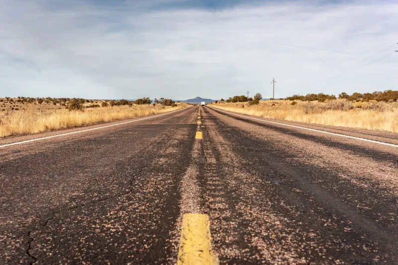
Somewhere out in the Arizona landscape, though, the pavement is still there — or what's left of it. The highway that the government erased in 1981 and the maps forgot to remove for forty years, sitting quietly in the desert, waiting for someone to follow directions that no longer exist.